
Welcome to Landulph
Landulph is an English civil parish within the unitary authority of Cornwall
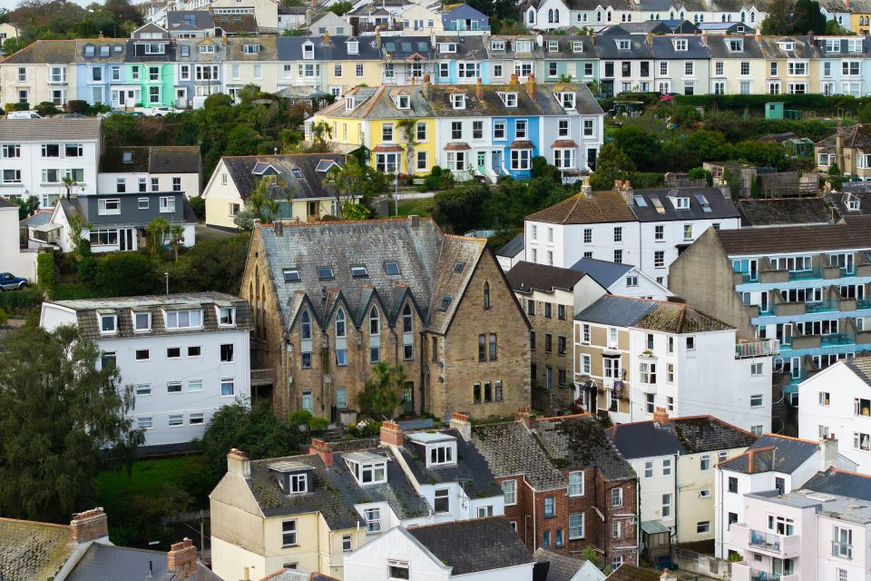
Landulph parish comprises the village of Cargreen and the rural parts of Landulph, situated on the banks of the River Tamar. It is in the Tamar Valley National Landscape, an area of outstanding natural beauty, surrounded by Duchy of Cornwall land, and with Pentillie Castle and its 2000 acre estate to the north. It lies next to the adjoining parishes of Botus Fleming, St Mellion and Pillaton.

Contact Information
- Address
- Landulph Parish Council
Landulph Memorial Hall
Landulph
Cornwall
PL12 6NF
Forthcoming Meetings
News
Council Business
Councillor Vacancy for Landulph Parish Council
Landulph Parish Council currently has two vacancies for a Parish Councillor following recent resignations.

Council Business
Scoping consultation for the Cornwall Local Plan
Regulation 20 of the Town and Country (Local Planning) (England) Regulations 2026 Cornwall Council is consulting on the scope of the new Cornwall Local Plan. This ‘scoping stage’ is the earliest stage of writing that new plan.

Quick Links
-
Announcements
Saltash tunnel upgrade and other announcements
-
Defibrillators
Where are the defibrillators
-
Past Council Meetings
See the most recent full council meetings including agendas, minutes and supporting documents
-
Council Working Groups & Committees
Find out more about the Council's Working Groups & Committees
-
Finance
Find documents published by the council, including financial accounts.
-
Governance, Policies & Plans
Find documents published by the council, including data policies, statutory documents and more.
-
Report an Issue (Cornwall Council)
Submit issues to the relevant local authority, such as potholes, missed bin collections and more.
-
News & Information
Parish Council eNewsletters and useful information about the Parish
-
Signup to eNewsletter
Parish Council eNewsletter is sent out about once a month or with other urgent news
People

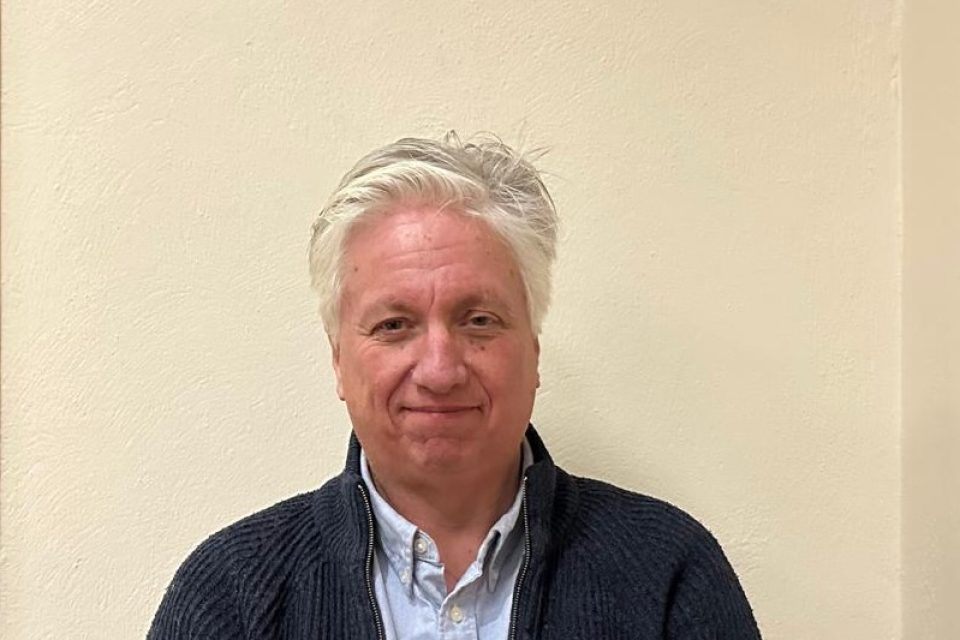
Libby Gawith
-
libby.
gawith@ landulphparishcouncil. gov. uk - Vice-Chairman
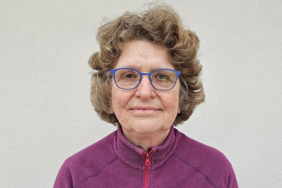
Gaye Braund
-
gaye.
braund@ landulphparishcouncil. gov. uk - Parish Councillor
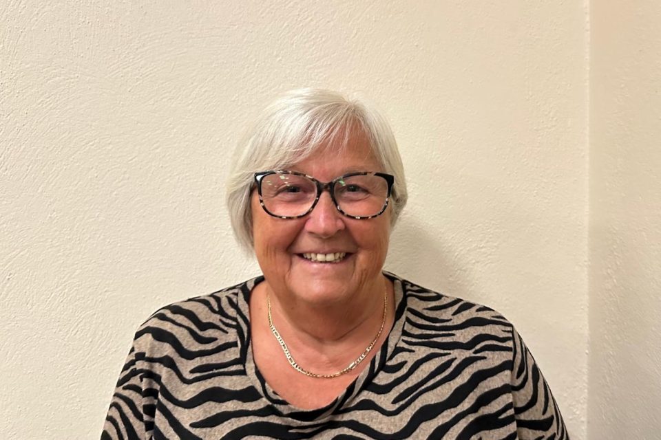
Council and Staff Figures
Area Information
Stats
| Population Estimate | 527 |
|---|---|
| Unitary Authority | Cornwall |
| Region | South West |
| Country | England |
| Postcode District | PL12 |
| Dialling Code | 01752 |
| Police Force | Devon & Cornwall Police Force |
| Fire Authority | Cornwall Fire and Rescue Service |
| Health Area | NHS Kernow CCG |